Hal Jespersen’s Cartography Services — BGES Map Portfolio
All of the following map images were created by Hal Jespersen, and are copyrighted by the Blue and Gray Education Society (BGES), all rights reserved. They are poster-size images that illustrate battlefields and campaign areas without troop movements, used by BGES on field exercise dry-erase boards. Clicking on a thumbnail will download a high-resolution PDF.
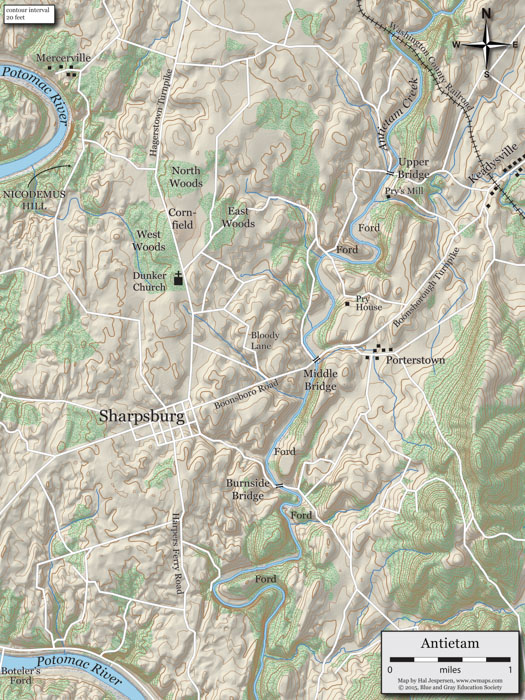
Antietam
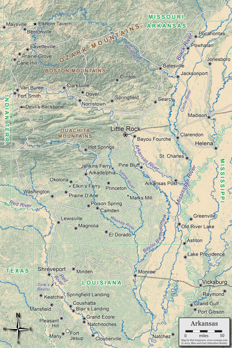
Arkansas
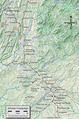
Atlanta Campaign
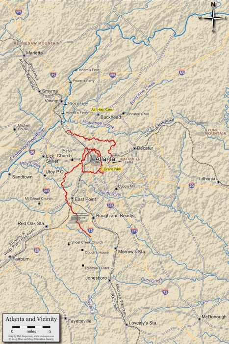
Atlanta Vicinity
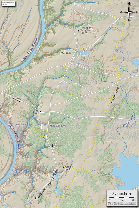
Averasboro
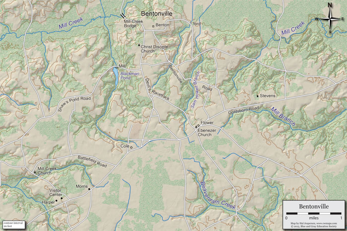
Bentonville
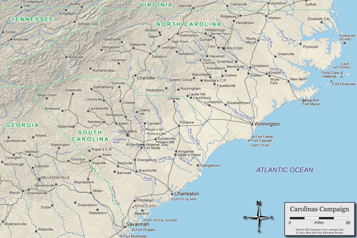
Carolinas Campaign
Cedar Mountain Campaign
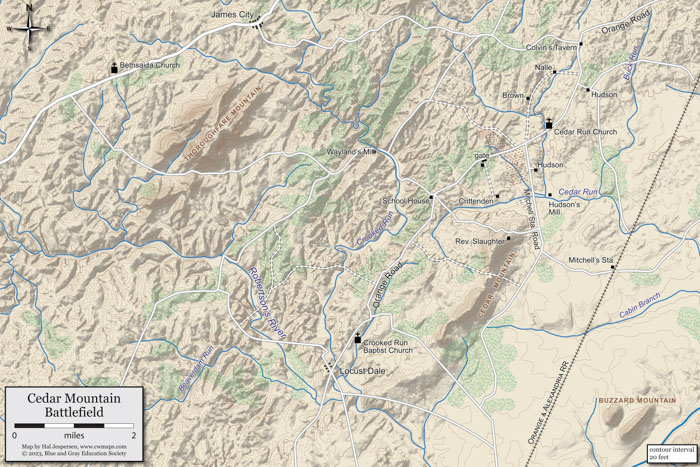
Cedar Mountain
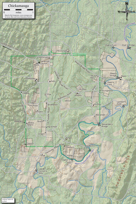
Chickamauga Battlefield
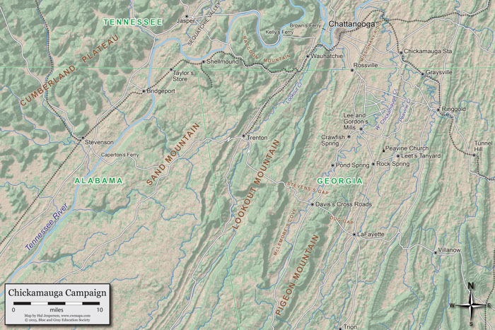
Chickamauga Campaign
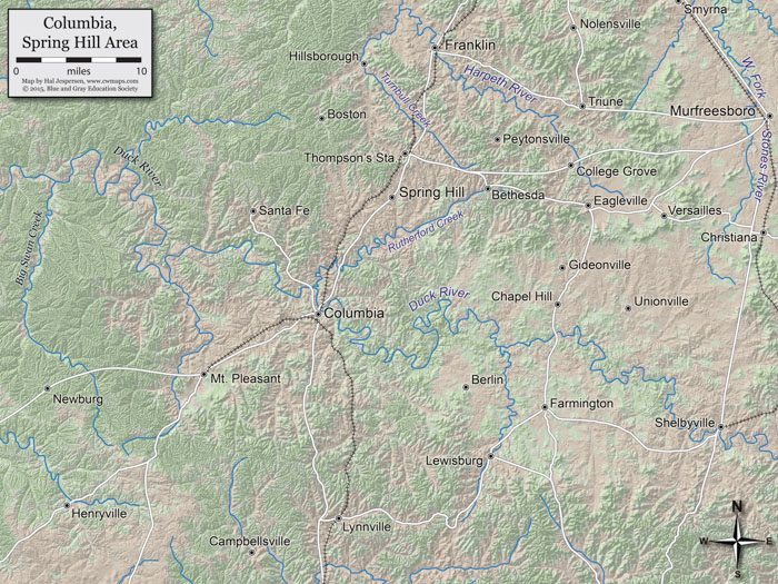
Columbia - Spring Hill Area
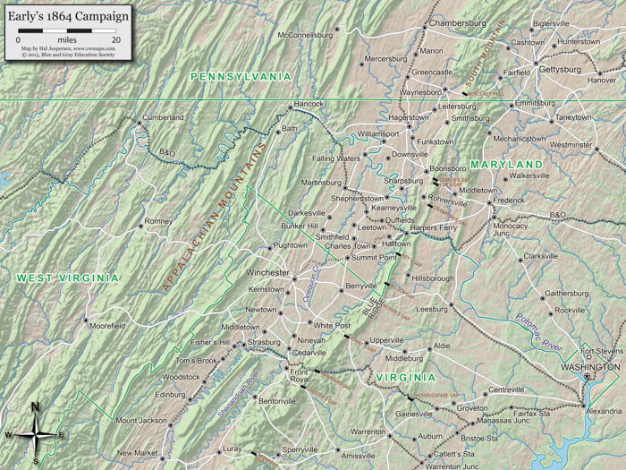
Early's 1864 Campaign
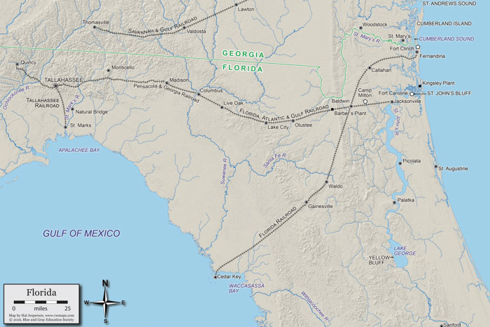
Florida
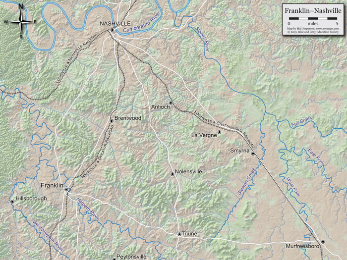
Franklin-Nashville
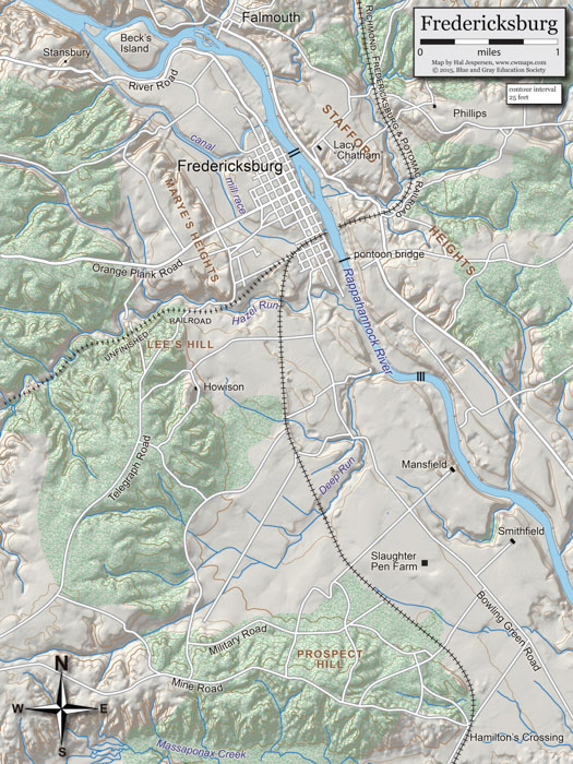
Fredericksburg
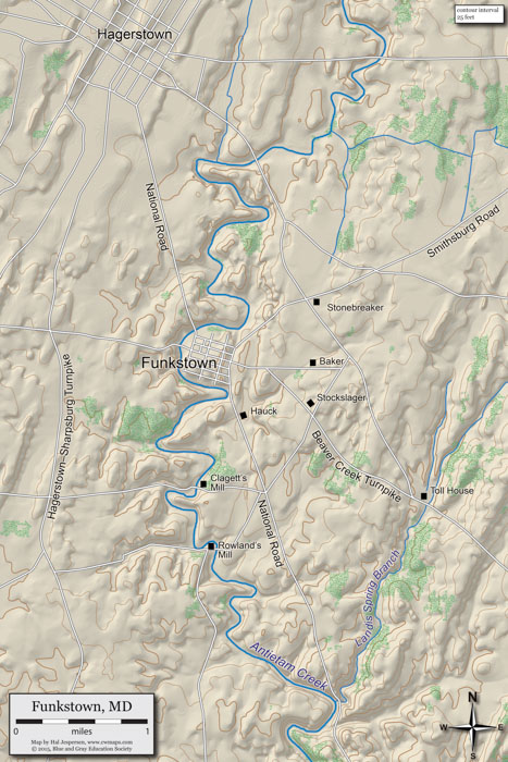
Funkstown
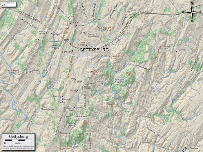
Gettysburg Battlefield
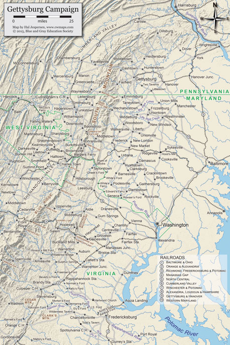
Gettysburg Campaign
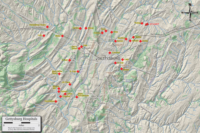
Gettysburg Hospitals
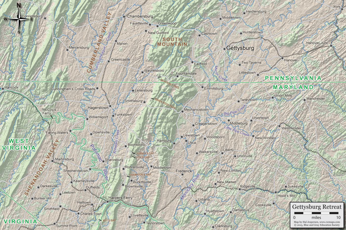
Gettysburg Retreat
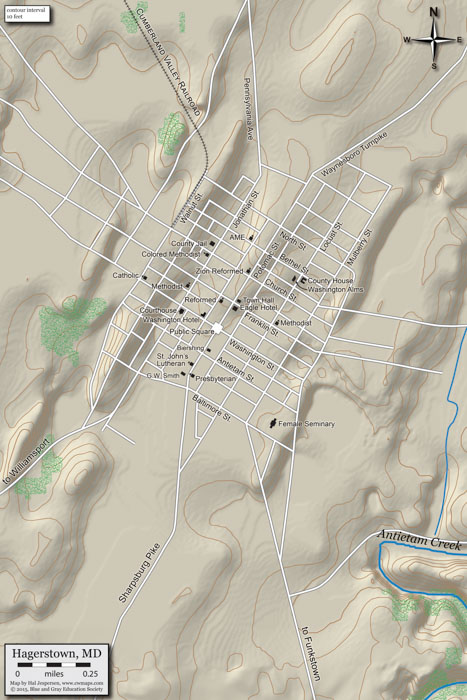
Hagerstown
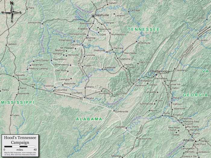
Hood's Tennessee Campaign
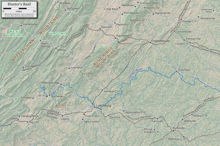
Hunter's Raid
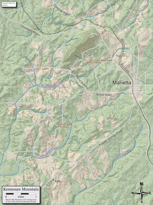
Kennesaw Mountain
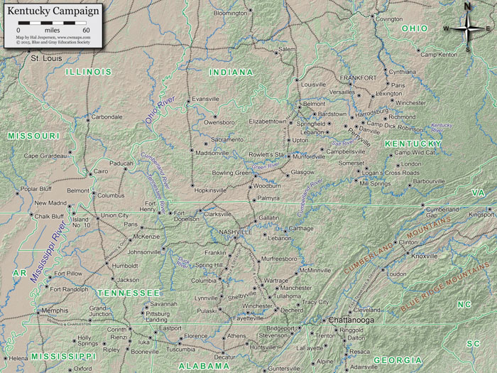
Kentucky Campaign
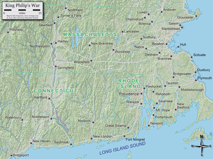
King Philips War
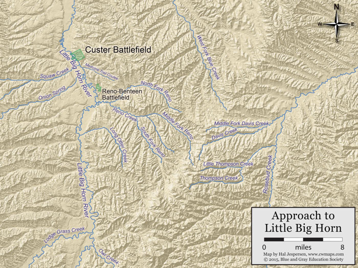
Little Big Horn Approach
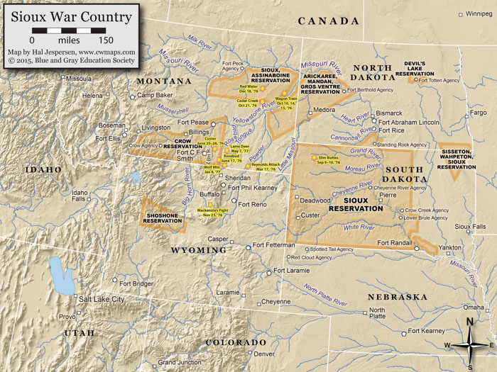
Little Big Horn Campaign - Sioux War Country
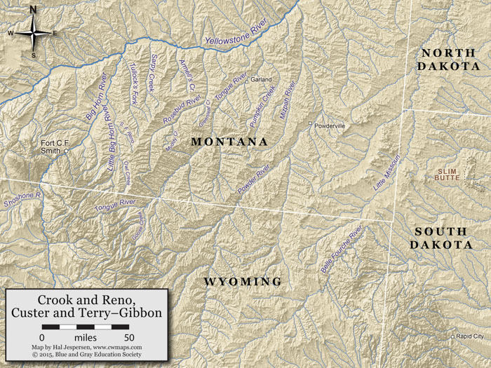
Little Big Horn Crook Reno Custer Terry-Gibbon
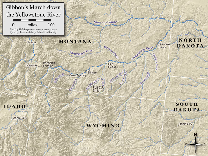
Little Big Horn Gibbon
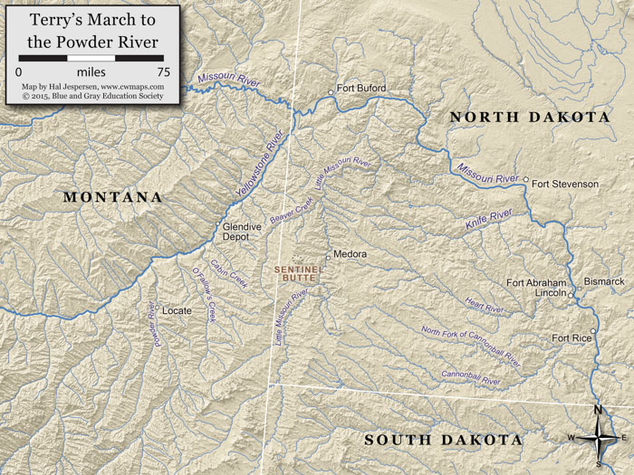
Little Big Horn Terry
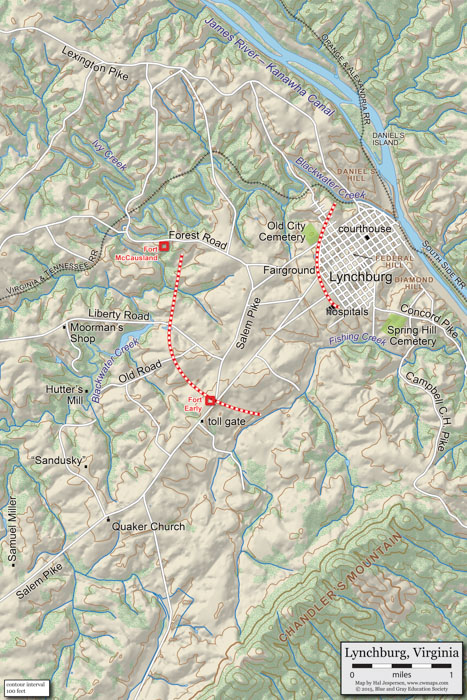
Lynchburg
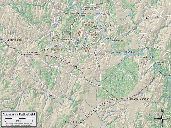
Manassas Battlefield
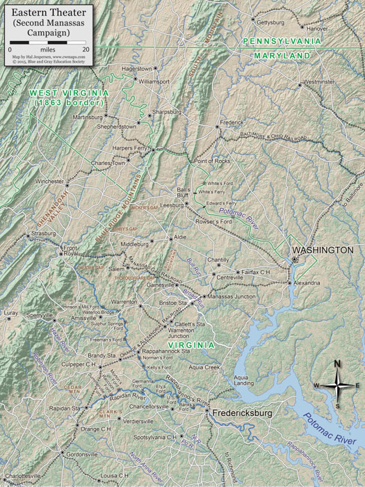
Manassas Campaign
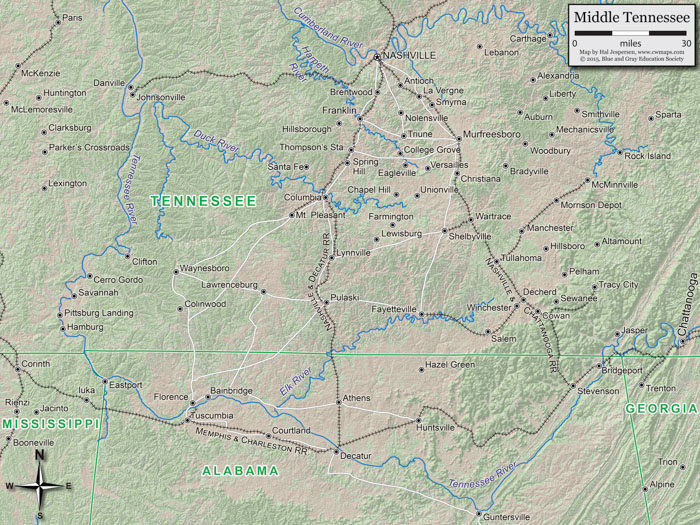
Middle Tennessee
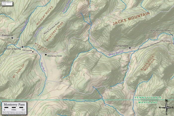
Monterey Pass
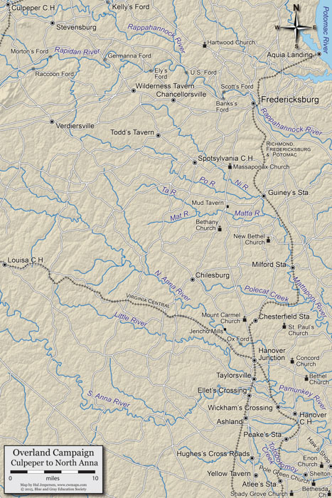
Overland Campaign Culpeper to North Anna
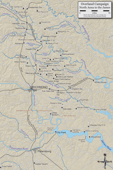
Overland Campaign North Anna to James River
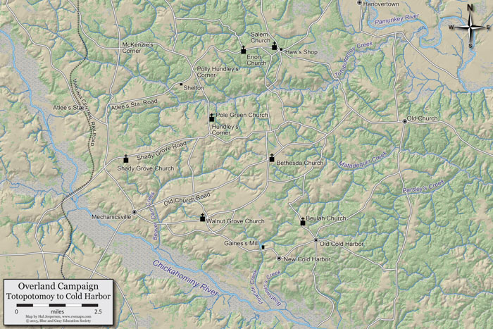
Overland Campaign Totopotomoy to Cold Harbor
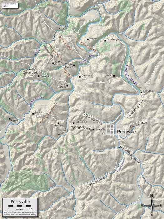
Perryville Battlefield
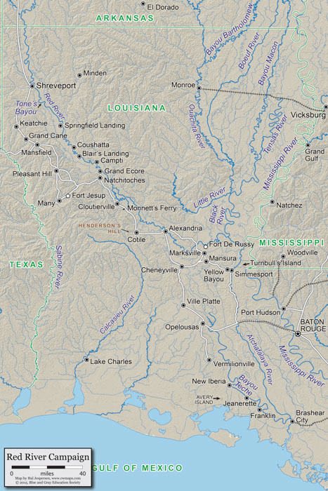
Red River Campaign
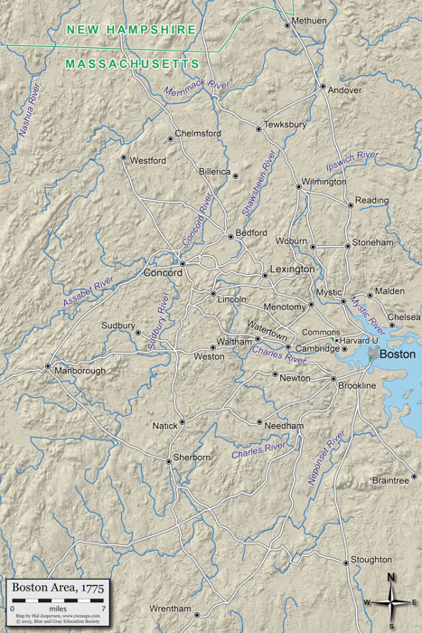
Revolutionary War Boston Area
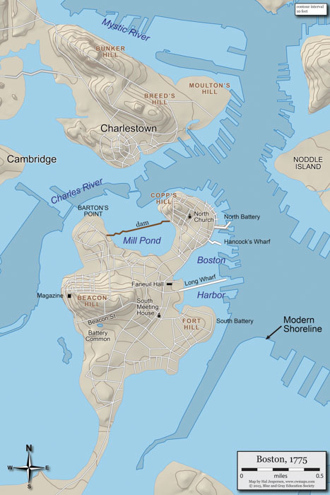
Revolutionary War Boston City
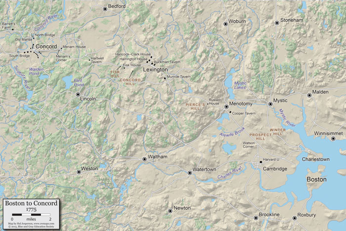
Revolutionary War Boston to Concord
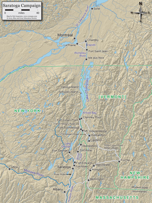
Revolutionary War Saratoga Campaign
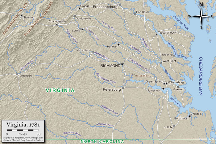
Revolutionary War Virginia 1781
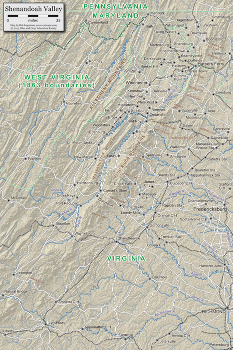
Shenandoah Valley Campaign
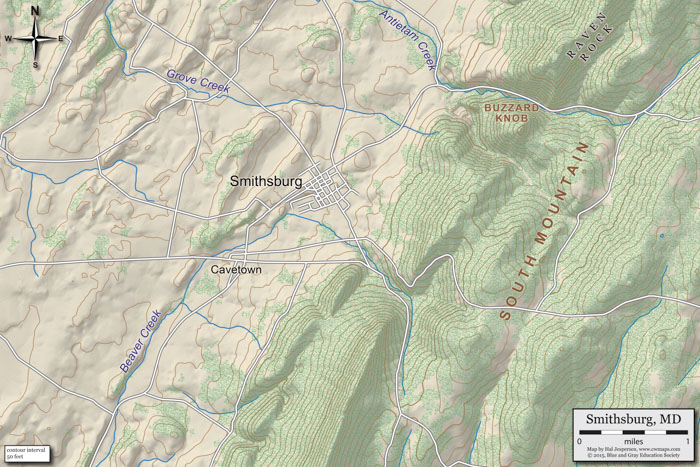
Smithsburg
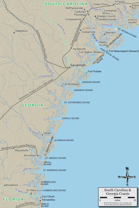
South Carolina Coast
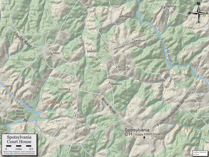
Spotsylvania
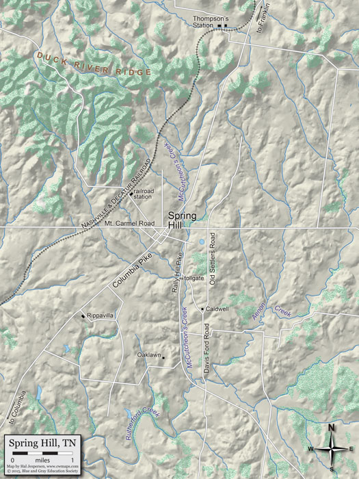
Spring Hill
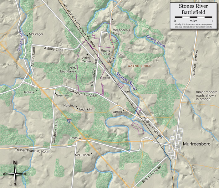
Stones River Battlefield
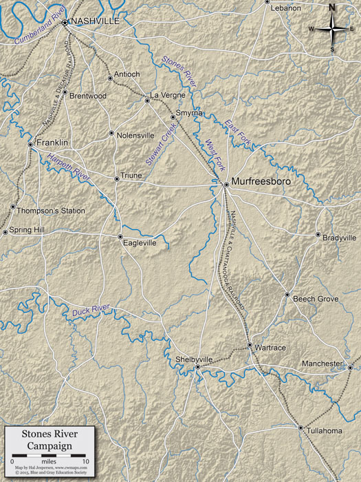
Stones River Campaign
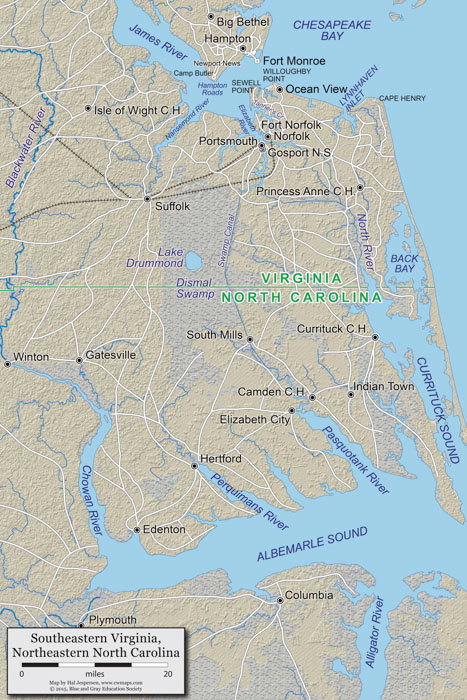
Virginia Peninsula South
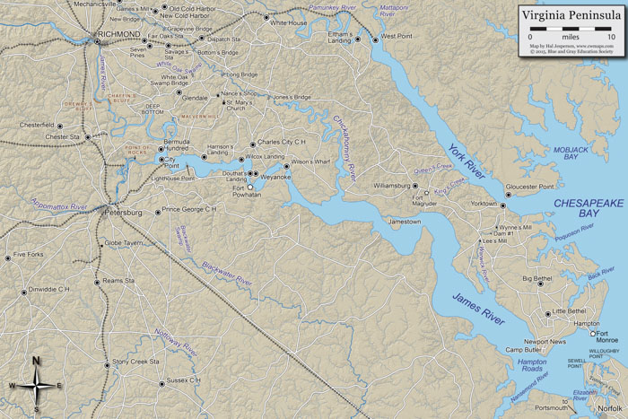
Virginia Peninsula
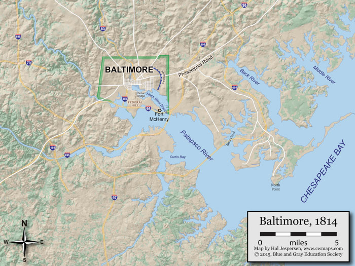
War of 1812 Baltimore Area
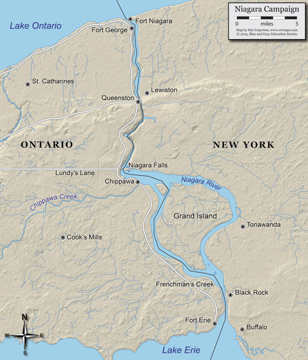
War of 1812 Niagara Campaign
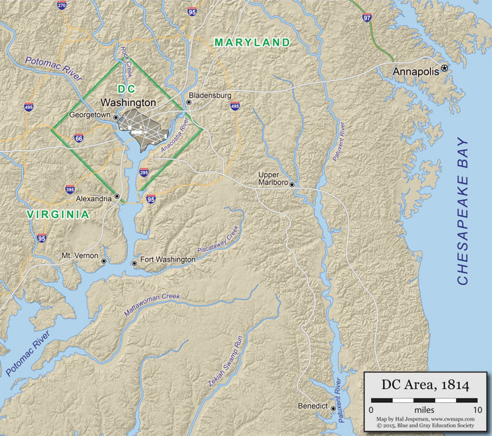
War of 1812 Washington DC Area
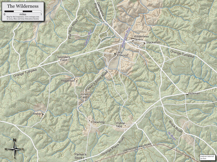
Wilderness
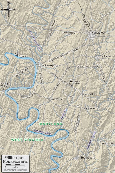
Williamsport
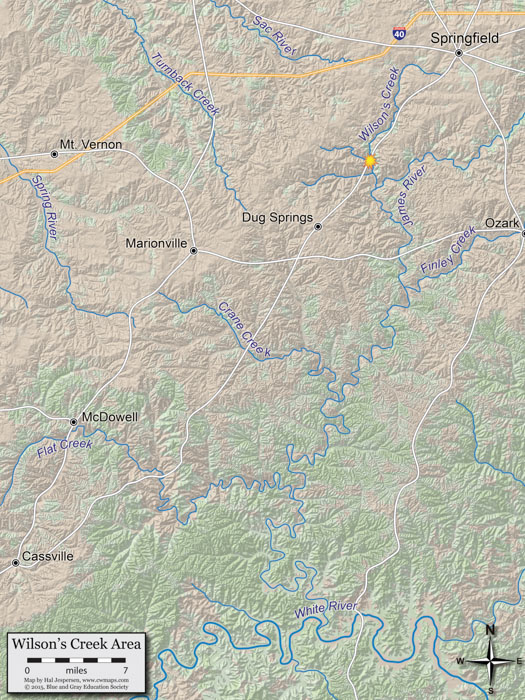
Wilson's Creek Area
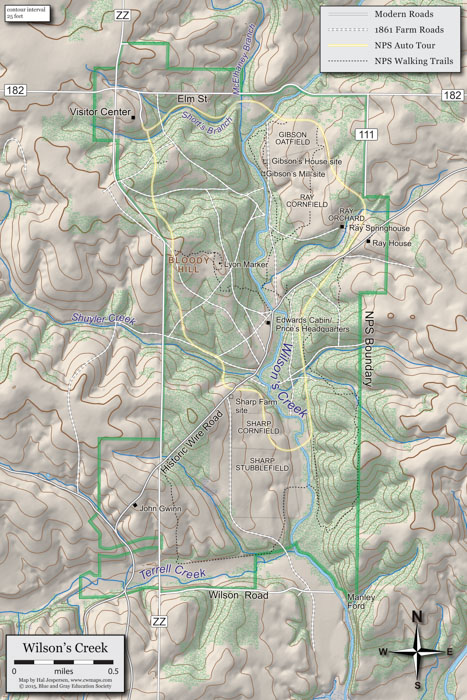
Wilson's Creek Battlefield