Hal Jespersen’s Cartography Services — Styles and Pricing
Available Map Styles
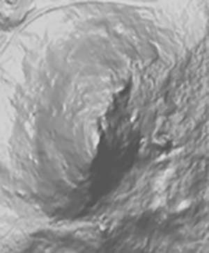
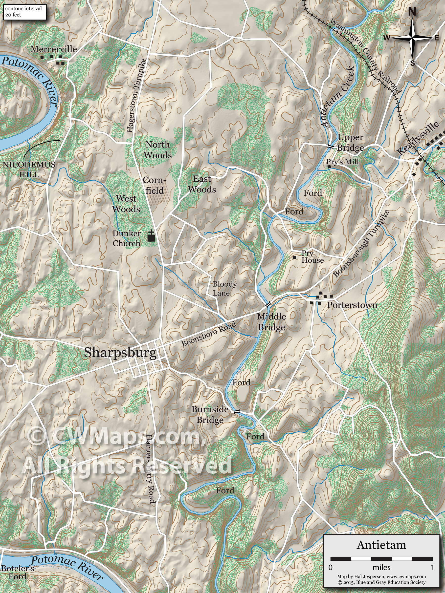
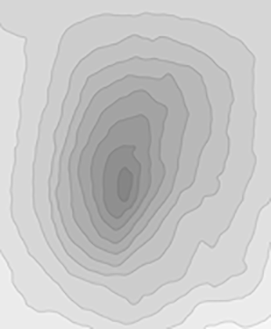
I design maps suitable for publication in black-and-white books or full-color magazines and websites, using a variety of graphical techniques. There are two basic styles: shaded relief elevation and schematic topography (or "hypsometry"). Here are example views of Big Round Top at Gettysburg:

_Campaign.png)
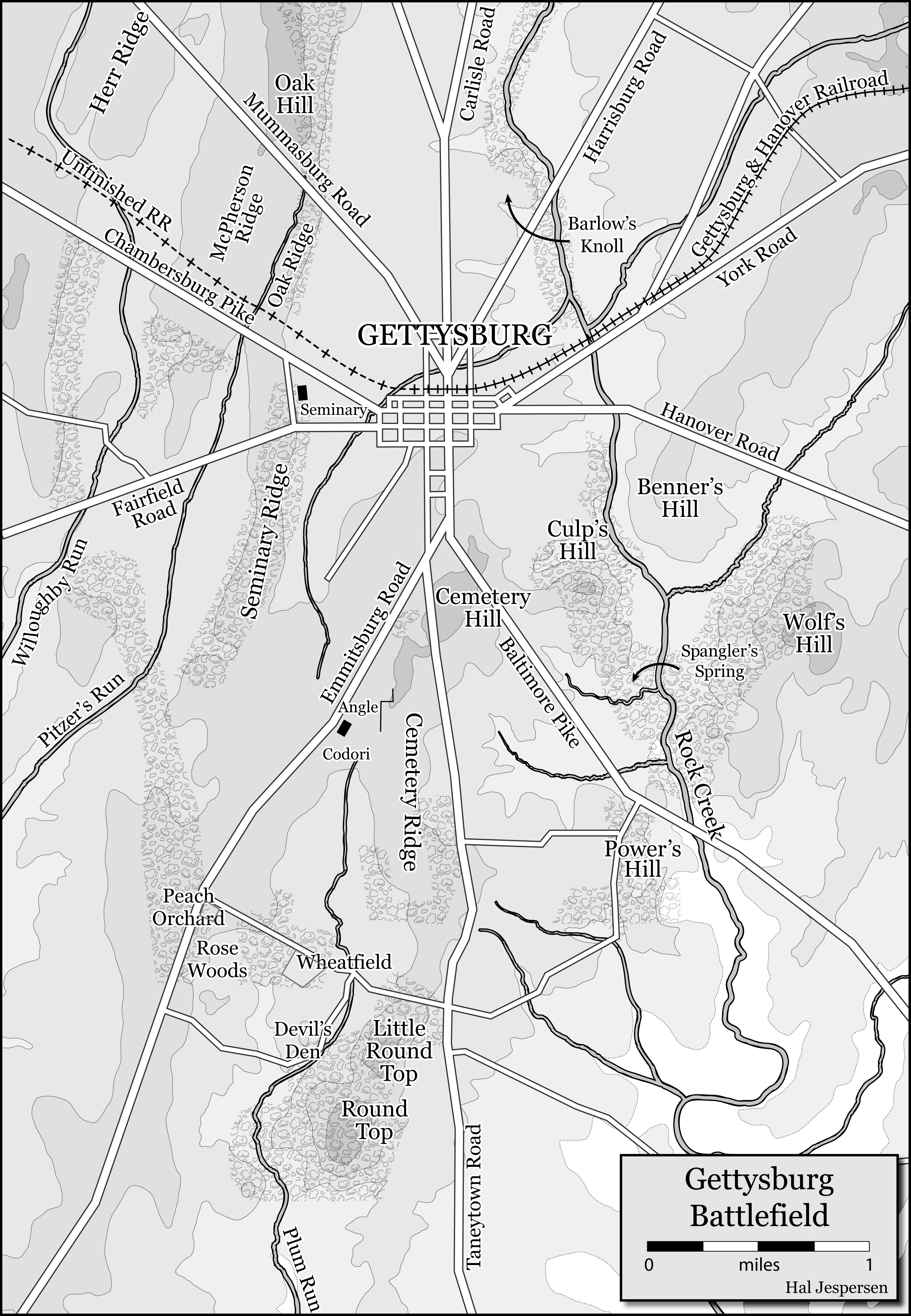
I no longer do much work in schematic topography, preferring the more realistic appearance of shaded relief with contour lines. There are extensive examples of the shaded relief style in my portfolio gallery. My free Wikipedia maps are generally in the schematic topography style, because it is easier for me to circulate the source code for those files, but I have done few updates to those over the last ten years. Those full-color maps are great for use as-is on websites or in PowerPoint presentations, but usually require some formatting changes to render them more suitable for black and white publication. I no longer offer a service to do such modifications for a discounted rate, but you are welcome to download the source files for the maps and manipulate them with Adobe Illustrator or a similar graphics tool. You will need to attribute the modified maps to me, using text in the image or caption such as "modified from the original map by Hal Jespersen, www.cwmaps.com." Of course, I can create a new custom map in my current style that roughly matches the content from any of the Wikipedia maps.
Prices
I love the study of the Civil War and greatly enjoy working with historians to make it more accessible by developing easy to understand, attractive maps. I also understand the budgetary constraints faced by authors who are developing books on specialized topics. Therefore, my work emphasizes reasonable prices. It is necessary to contact me to discuss your requirements before I produce a quotation. But I have included some guidelines below.
Standard Map: as low as $50–70
My “standard” American Civil War map consists of a topographic background (usually shaded relief), scale/legend, 19th century rivers and road networks, overlaid with labels and troop movements/actions. I will create the map using my standard graphical design tools (currently Adobe Illustrator and Photoshop CC). For a typical small book publishing project in 2023, I can design and produce a collection of standard maps for as little as $50–70 per map, depending on quantity.
The author/historian will do the primary research for the contents of the maps and provide either hand-drawn sketches, scanned images of other maps, or enough textual information so that I can create the map without having to, say, read regimental histories or the Official Records to determine which units did what/where/when. The actions on a single standard map should be bounded by a reasonably compact unit of time so that complex time coding, overlays, or insets are not required.
Other Maps
My specialty is the American Civil War, but I have done some work for the American Revolutionary War as well (six books so far). Because of geographic data availability, I prefer to work on maps of North America. I can do small-scale (i.e., covering large geographic areas) theater/campaign maps of other regions—like this one of 1943 Sicily—but detailed battlefield maps in those regions might require purchasing geographic data, which would be the responsibility of the client. Contact me if you are interested.