Hal Jespersen’s Cartography Services

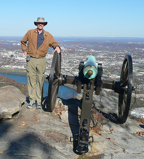
I am Hal Jespersen, a freelance cartographer who specializes in creating battle and campaign maps for the American Civil War. From 2004 to 2012 I wrote hundreds of Wikipedia articles about the war and illustrated them with 200+ elaborate maps, which are available for free. See the gallery of free maps.
My cartography services are now available to historians for commercial or academic publication in books, journals, magazines, websites, or presentation materials. As of early 2021, I have worked on over 260 professional publishing projects, for which I have created over 4,000 maps. I am the official cartographer for Gettysburg Magazine and have done extensive work for the Shenandoah Valley Battlefields Foundation preservation efforts.
My cartography/illustration skills, my familiarity with Civil War campaigns, tactics, and personnel, and my extensive research library of secondary sources and atlases, make me the ideal partner for collaborating on professional works. See details about my services. My portfolio gallery has an extensive collection of sample maps that illustrate a variety of cartography styles I have delivered for publication.
Visit my personal website, www.posix.com, for more of my personal background and details on my extensive Civil War writing and traveling.
Contact Hal:
Click here to email Hal. (This is the preferred method.)
Phone/voice-mail (PST/PDT Pacific time zone): +1 650 549-4572